
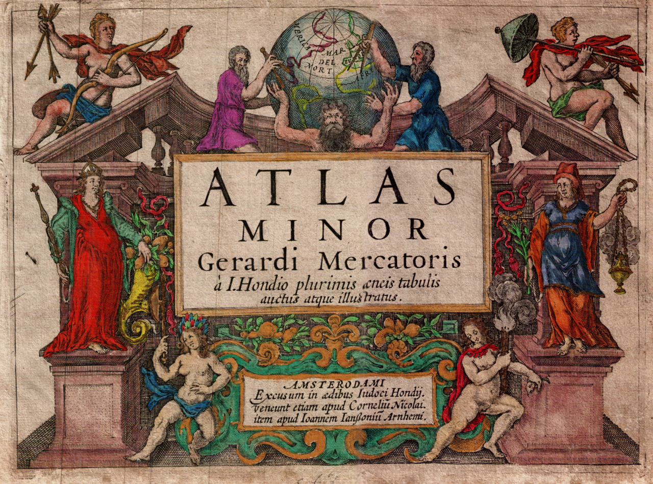
The Mercator-Hondius Atlas Minor (frontispiece), 1607 version
This image, via: https://commons.wikimedia.org/wiki/File:Mercator_Hondius_Atlas_Minor_of_1607_frontispiece.png

In the sixteenth century, a Flemish geographer and cartographer, named Gerardus Mercator, pioneered the creation of the first atlas (he may even have invented the term), and produced maps which revolutionized maritime navigation.
He also developed something now known as the Mercator Projection. This cylindrical map displays straight lines of constant compass bearings, making navigation easier. Unfortunately, it also has the effect of making land masses which are further from the equator appear disproportionately large. So this is why Greenland looks nearly as big as Africa on the maps we’ve all known since childhood. Recently, the UN has taken the decision to move away from the Mercator Projection for its chosen map of the world.
Whatever role this may have had in distorting our image of the world – perhaps even encouraging Eurocentricity – we must never forget that Mercator was a genius. The maps and globes he and his collaborators created are also very beautiful works of art, with every new edition reflecting the latest information about the known world.
Let’s go on a fantastic journey with him.
RJW F2706 Online (via Zoom)
A 5-hour short course, delivered via 2 x 2½-hour sessions on consecutive Saturdays (Saturday 6 & Saturday 13 February).
£40 (individual registration); £72 (for two people sharing one screen).